New Orleans
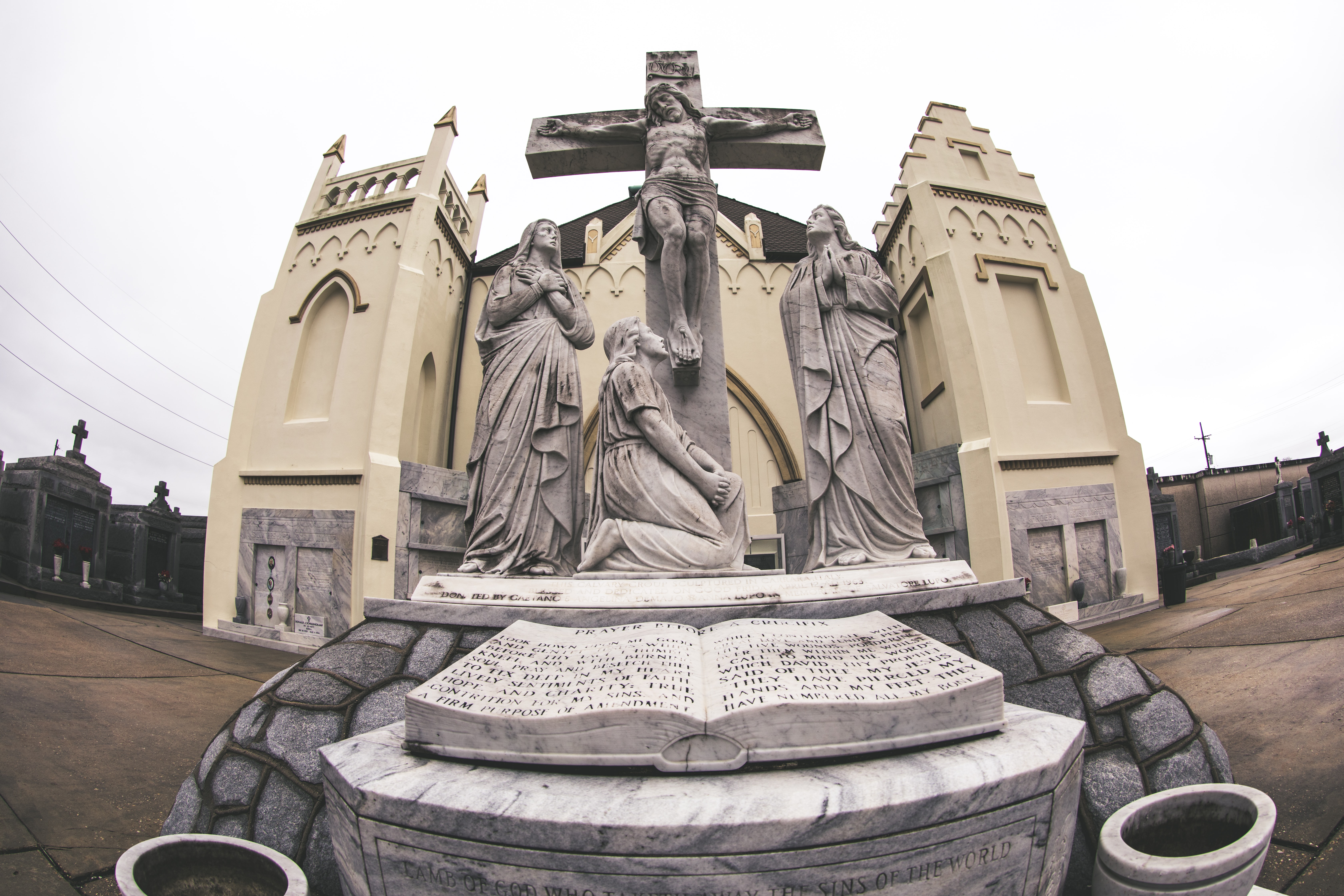
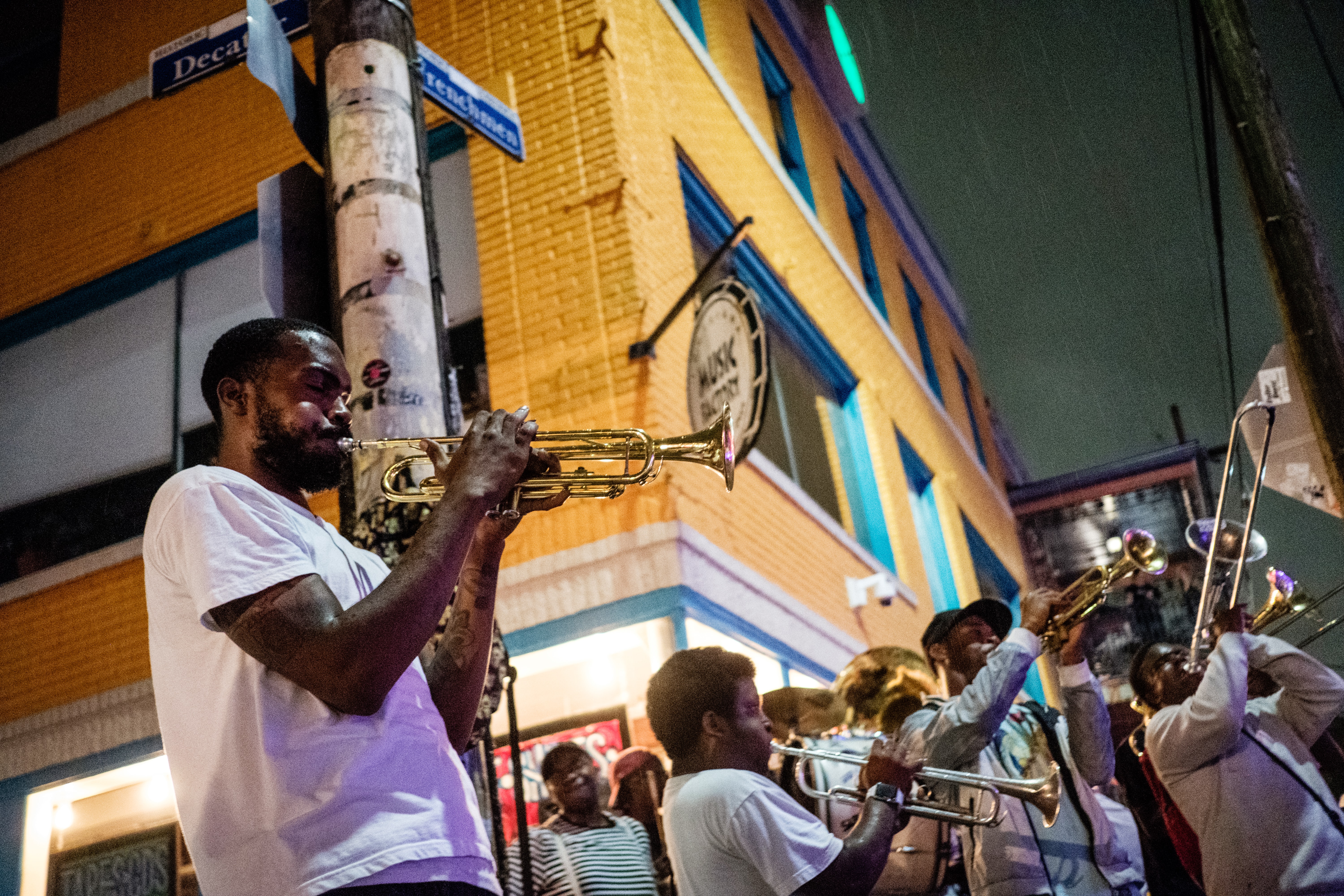
New Orleans is a Louisiana city on the Mississippi River, near the Gulf of Mexico. Nicknamed the "Big Easy," it's known for its round-the-clock nightlife, vibrant live-music scene and spicy, singular cuisine reflecting its history as a melting pot of French, African and American cultures. Embodying its festive spirit is Mardi Gras, the late-winter carnival famed for raucous costumed parades and street parties.
History

Situated on a bend of the Mississippi River 100 miles from its mouth, New Orleans has been the chief city of Louisiana and the Gulf of Mexico’s busiest northern port since the early 1700s. Founded by the French, ruled for 40 years by the Spanish and bought by the United States in the 1803 Louisiana Purchase, New Orleans is known for its distinct Creole culture and vibrant history. Significant battles of the War of 1812 and the Civil War were fought over the city. In its last hundred years the key struggles of New Orleans have been social (poverty, racial strife) and natural (hurricanes, floods and slowly sinking land).
Attractions

Unquestionably one of the most distinctive cities of the New World, the peoples of New Orleans evolved a unique culture and society, while at the same time blending many heritages such as African American, French and North American. Its citizens of African descent provided a special contribution in making New Orleans the birthplace of jazz. New Orleans is a city of paradox and contrast: while it shares the urban problems afflicting other U.S. cities, it has nevertheless preserved an exuberant and uninhibited spirit, perhaps best exemplified by its Carnival season, which culminates in the famous annual Mardi Gras, when more than a million people throng the streets.
Geography

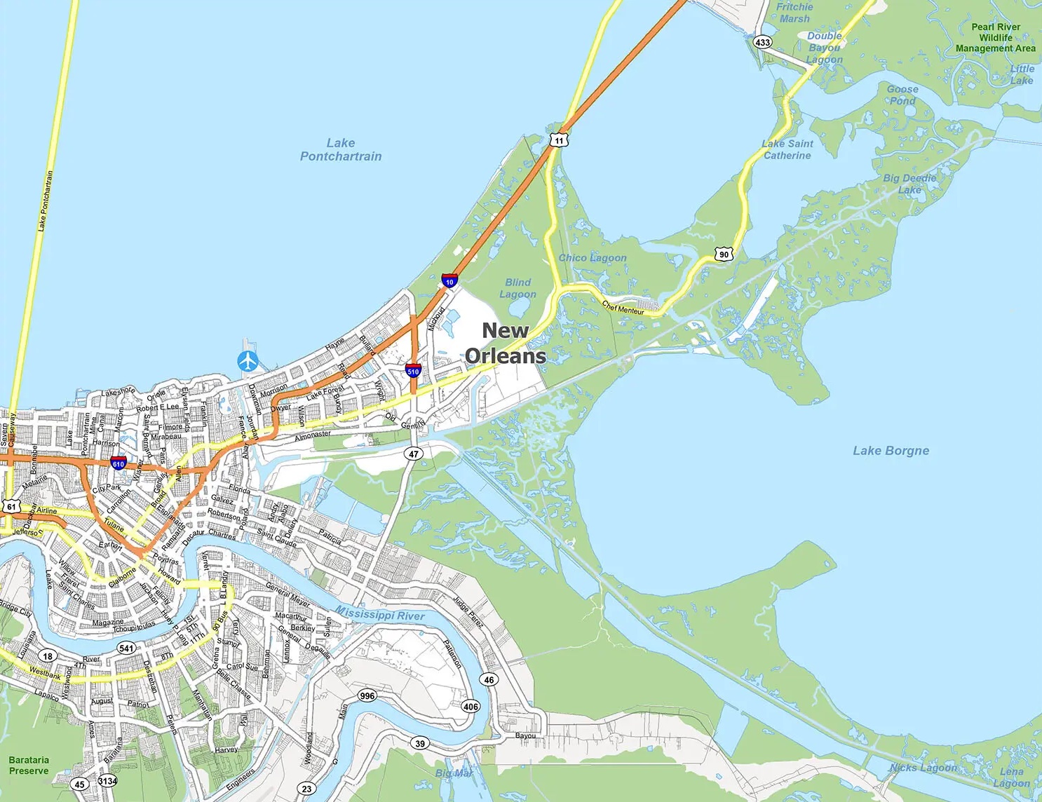
New Orleans is located in the Mississippi River Delta, south of Lake Pontchartrain, on the banks of the Mississippi River, approximately 105 miles (169 km) upriver from the Gulf of Mexico. According to the U.S. Census Bureau, the city's area is 350 square miles (910 km2), of which 169 square miles (440 km2) is land and 181 square miles (470 km2) (52%) is water. The area along the river is characterized by ridges and hollows.Vertical cross-section, showing maximum levee height of 23 feet (7.0 m). New Orleans was originally settled on the river's natural levees or high ground. After the Flood Control Act of 1965, the US Army Corps of Engineers built floodwalls and man-made levees around a much larger geographic footprint that included previous marshland and swamp. Over time, pumping of water from marshland allowed for development into lower elevation areas. Today, half of the city is at or below local mean sea level, while the other half is slightly above sea level. Evidence suggests that portions of the city may be dropping in elevation due to subsidence.